A (Short) History of Stark's Knob
In 1916 the State of New York acquired Stark's Knob, preserving it as a scientific reservation owned by the New York State Board of Regents and managed by the New York State Museum.
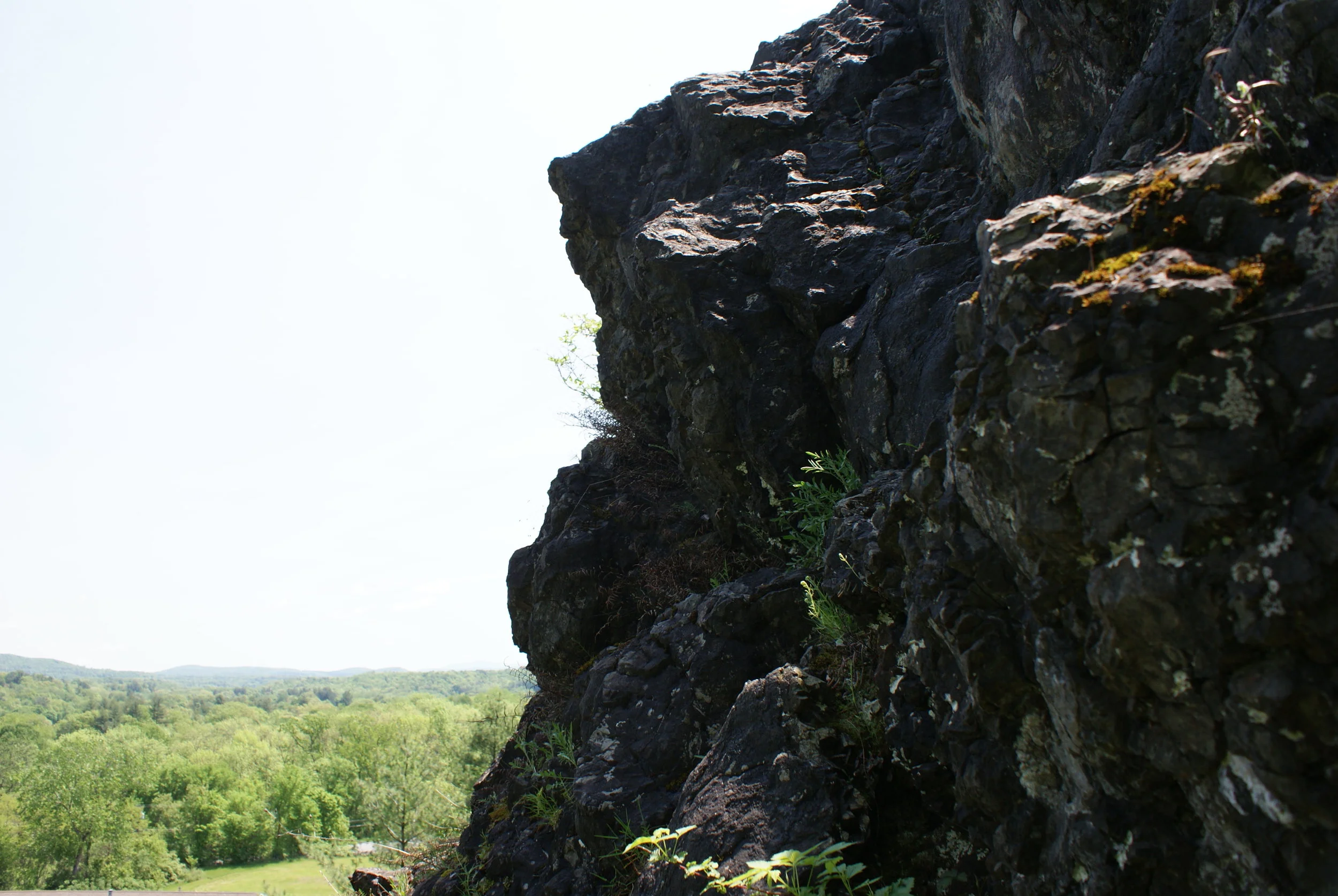
Stark's Knob is believed to have originated in the Connecticut River Valley 400 million years ago as lava "bubbled up" out of a crack in the earth's crust under a shallow sea. The momentum of plate-tectonics "delivered" it to the town of Northumberland just outside of Schuylerville. The cone shape was created by the mining of the volcanic material for roadbed. Being one of the few places in the United States where "pillow basalt" can be easily seen, this volcanic formation is internationally known and often visited by students and professional geologists from throughout North America.
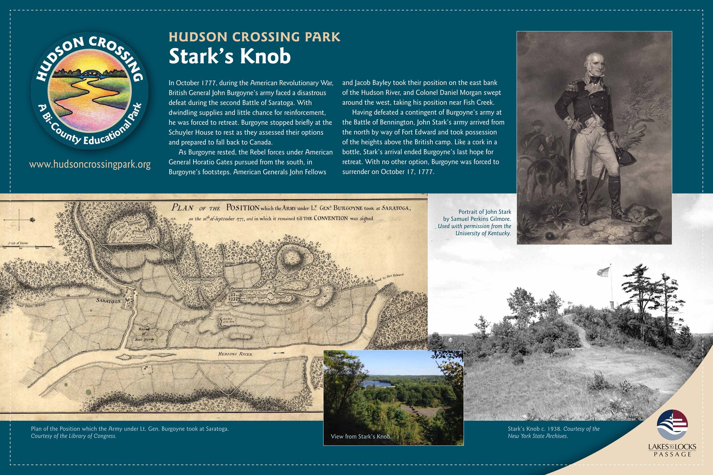
During the Revolutionary War, in the fall of 1777, the height of land at Stark's Knob created a pinch-point at the north end of Schuylerville. Here, the military road the British needed to traverse to make good their escape after the Battles of Saratoga, passed through a narrows confined by Stark's Knob on the west and the Hudson River and associated wetlands on the east. It is believed that General Stark used the vantage point this natural formation offered his men. Placement of Stark's American Forces in the gap was later described by historian John Henry Brandow as "the corking of the bottle" which profoundly influenced the outcome of the Battle of Saratoga, leading to Burgoyne's surrender.
The summit vantage point is still breathtaking; visitors to Hudson Crossing Park enjoy scenic views of the Hudson River and the Green Mountains of Vermont.


